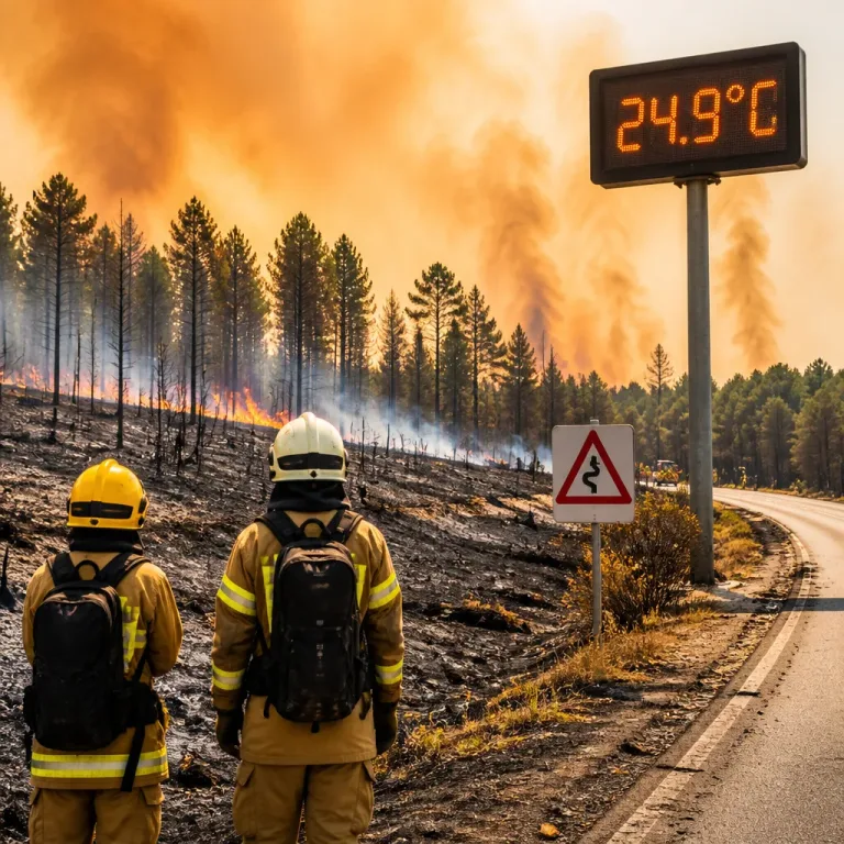
Britain is braced for what forecasters are calling a fourth heatwave of the summer, with temperatures expected to climb to around 35C in parts of the country next week. After some relief from rain in the north and north-west this weekend, high pressure is predicted to re-establish itself across much of southern England and eastern Wales, bringing a return to hot, dry weather.
What the forecast is saying
According to BBC Weather and Met Office commentary, much of England and eastern Wales is likely to see temperatures recover swiftly following the brief respite, and there is potential for very warm, or locally hot, conditions to return.
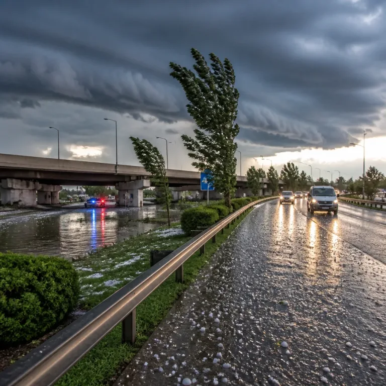
“After a prolonged spell of hot, dry and settled weather, some will see a temporary change this weekend as weather fronts move south-east across the UK. While some areas, particularly in the north and west, will see rain and showers, many places are likely to receive relatively little rainfall. For much of southern England, dry conditions are expected to remain the dominant feature, with temperatures recovering quickly next week and the potential for very warm or locally hot weather to return.”
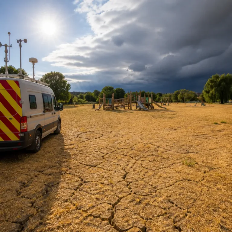
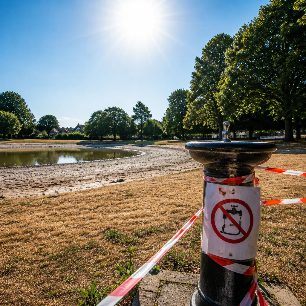
The brief wetter interlude is unlikely to be enough to ease wider drought concerns. More than 20 million people are already subject to hosepipe bans as water companies curb customer use amid exceptionally dry ground conditions.
How hot will it get?
Forecasters suggest a range of temperatures across the coming week:
- Peak temperatures could reach around 35C in some areas next week.
- For much of England and Wales typical daily highs are expected to be in the 25-32C band.
- London is forecast to hit about 33C on Wednesday.
These figures follow an already intense summer: a June high of 37.7C at Lingwood, Strumpshaw Hill remains the season’s standout record. So far in 2026 the UK has experienced three heatwaves; if the next spell meets the heatwave criteria—temperatures above local thresholds for three consecutive days—it will be the fourth.
Where the heat has already persisted
Some locations have seen extended periods above their local heatwave thresholds. The coverage highlights particular sites where heat has been unusually persistent:
| Location | Note |
|---|---|
| Usk, Monmouthshire | Exceeded heatwave thresholds for an extended period |
| Exeter Airport, Devon | Also recorded prolonged exceedances; some places have seen up to 19 consecutive days above thresholds |
The combination of repeated hot spells and limited rainfall has escalated concerns about water supply and soil moisture, contributing to restrictions by water companies across large parts of the country.
Practical implications and what to expect
For most people, the immediate impact will be a return to hot, sunny days and warm nights in southern and eastern areas. Those in the north and north-west should expect a short-lived period of showers and slightly cooler temperatures this weekend, but forecasters indicate this is likely to be temporary.
- Expect rapidly rising daytime temperatures in southern England and eastern Wales next week.
- Keep an eye on local guidance from water companies — hosepipe restrictions already affect more than 20 million people.
- Those in vulnerable groups should take usual heat precautions during hot spells: stay hydrated, avoid strenuous activity in the heat of the day, and check on others.
While an individual warm spell does not alone determine long-term trends, repeated heatwaves and reduced rainfall this summer are straining water resources and raising questions about resilience to prolonged dry periods. The coming days will show whether the brief rain pushes south-east and gives a more significant break, or whether high pressure and dry air reassert themselves across much of southern Britain.
We will continue to follow Met Office updates and regional forecasts closely and advise readers to check local weather and water company notices as conditions evolve.