After a month of exceptional heat and dryness, forecasters say the UK will see a short-lived easing in temperatures this week before a more changeable August brings a mixture of rain, showers and intermittent warm spells.
What the numbers tell us
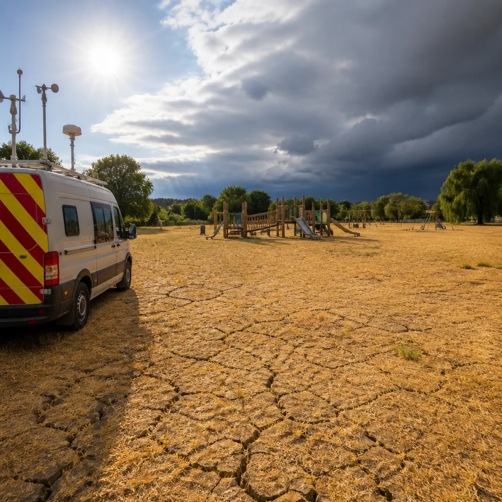
July was an unusually severe month for heat and lack of rain. Temperatures topped 34C during the month and, according to the Met Office, July was the driest month on record for England and Wales. Measured rainfall totals were extremely low: England received just 6.5mm and Wales 9.3mm across the month, with parts of Southern England recording as little as 1.9mm — just 3% of the long-term average for July.
| Location | July rainfall | Context |
|---|---|---|
| England | 6.5mm | Driest month on record |
| Wales | 9.3mm | Record low totals |
| Southern England (example) | 1.9mm | ~3% of long-term July average |
Short-term outlook: a cooler interlude
Forecasters expect a break from the persistent heat this week. After another late heat spike, daytime maxima are predicted to fall back, with peaks around 22C in London and about 17C in Glasgow on Thursday. By the weekend there is some recovery, with temperatures creeping back towards the high 20s in places.
- This week: A noticeable drop from recent highs — more comfortable for many and lowering immediate heat risks.
- Weekend: Temperatures rise again, but not expected to match the exceptional heat of recent weeks.
August trends: changeable, but generally warmer than average
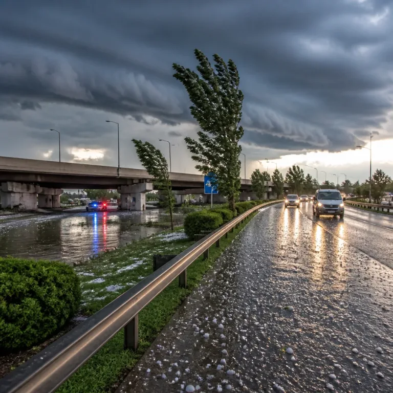
Looking beyond the immediate few days, the Met Office forecast points to a more variable start to August. The pattern is likely to alternate between frontal systems bringing rain and showers and drier spells, especially across the south of England. There is a greater chance of thundery showers in southern and eastern areas when lower pressure dips in those regions.
Towards mid-August there are signs that high pressure could dominate to the north or north-west of the UK while lower pressure lies to the south or east. That arrangement increases the likelihood of locally heavy, convective showers in the south and east, even if some southern areas remain relatively dry overall.
For the second half of August the Met Office guidance anticipates that:
- High pressure will probably stay close to the UK, keeping many areas drier than average overall.
- Temperatures are still expected to be above average, particularly in the south, with the possibility of further spells of hot weather or short-lived heatwaves.
Consequences and practical advice
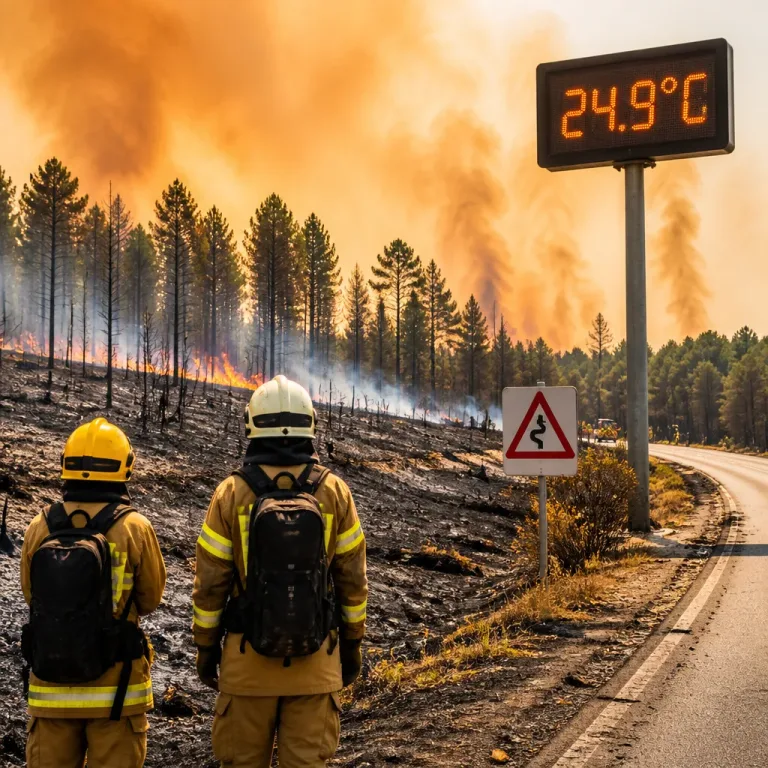
The recent stretch of exceptional warmth and minimal rainfall has already had tangible impacts: wildfires, pressure on water supplies and hosepipe restrictions have been widely reported. The coming variable spell offers some relief in places, but the longer-term trend into mid and late August points to a continued risk of warm, relatively dry conditions overall.
Practical considerations for households and businesses:
- Continue to follow local water-use restrictions where in force — short wet spells are unlikely to restore reservoirs to normal levels quickly.
- Be prepared for sudden heavy showers and thunderstorms in southern and eastern areas: keep an eye on Met Office warnings and secure outdoor belongings.
- For those vulnerable to heat, take advantage of cooler days this week to recover and avoid the sun during any return to hotter conditions.
In short, the UK is set for a mixed August: pockets of much-needed rain and cooler interludes, but overall the season is likely to remain warmer and, in many places, drier than average. Keep watching forecasts for local updates, as the balance between high and low pressure will determine how much relief arrives where you live.