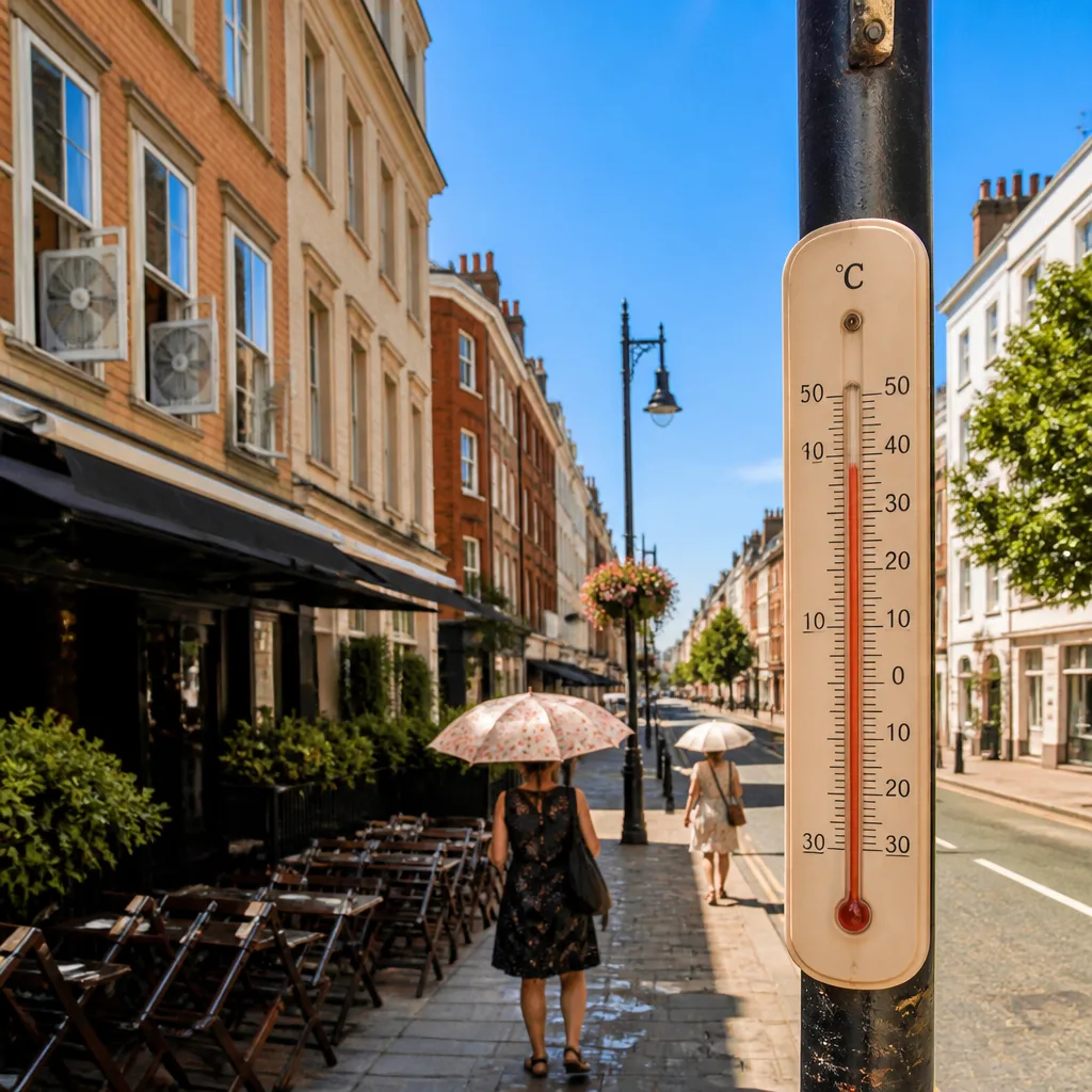
A new pulse of intense heat is set to spread across the United Kingdom and western Europe from Sunday into next week, with temperatures climbing well above seasonal averages and many urban areas likely to feel prolonged, oppressive warmth.
What the forecast shows
Meteorological models indicate a large area of high pressure will build over the region, effectively acting as a heat reservoir. By midweek, forecasts suggest cities such as London, Paris and Rome are likely to see daytime highs in the mid- to upper 30s Celsius, while parts of Spain – including Madrid – could flirt with the 40°C mark.
These readings would put many places roughly 15–20°C above average for this time of year. The warmth is expected to spread eastwards into central Europe later in the week, prolonging the hot conditions across a wide swathe of the continent.
| City/Region | Expected peak | Context |
|---|---|---|
| London | mid–upper 30s °C | Much higher than normal for August |
| Paris | mid–upper 30s °C | Persistent daytime heat likely |
| Rome | mid–upper 30s °C | Warm nights may reduce relief |
| Madrid | approaching 40°C | Possible low 40s in heat pockets |
Why this is particularly risky in Europe
Temperatures of the sort commonly encountered in parts of the United States can be more hazardous in many European contexts. Widespread air conditioning is less common in domestic settings across much of Europe, many properties are older and not designed to shed prolonged heat, and large parts of the population are ageing. These factors together increase the risk from heat-related illness even when thermometers show values that might be considered tolerable elsewhere.
Authorities are already cautious after recent record-breaking readings this week in countries such as Austria and Poland. While the worst of the current heat may shift eastwards towards the weekend for western Europe, the timing and degree of any relief remain uncertain.
Practical advice for staying safe
With several days of high temperatures likely, basic precautions will help most people cope more comfortably and reduce strain on health services:
- Keep hydrated: carry water and sip regularly, avoid alcohol in extreme heat.
- Stay cool indoors: close blinds during the day, ventilate overnight when temperatures drop, and find air-conditioned public spaces if you lack cooling at home.
- Check on vulnerable people: elderly neighbours or those with long-term conditions are at higher risk; make sure they are cool and hydrated.
- Limit strenuous activity: avoid outdoor exertion in the hottest hours and schedule any necessary work for cooler parts of the day.
- Watch for heat illness: symptoms such as dizziness, headache, rapid heartbeat or confusion require prompt action — move to a cool place and seek medical help if severe.
Travelers in Europe should be particularly mindful: hotels, trains and other public spaces may offer limited cooling, and transport can become uncomfortable. If you have events or outdoor plans, consider rescheduling or adjusting timings.
Outlook for the rest of August
Climatological outlooks from long-range models show that the remainder of August is likely to remain warmer than average across much of Europe, with extensive areas indicated as experiencing above-normal temperatures. This suggests the current pattern is not an isolated spike but part of a sustained warm phase for the month.
For the latest forecasts and heat-health guidance, consult your national meteorological service and public health agencies. Short-term changes in the pattern could still alter timing and severity, so keep an eye on updated warnings over the coming days.
Warm spells like this can be managed with care and preparation. Practical steps now will reduce risk and help communities cope through what looks set to be another notable stretch of summer heat.