A severe thunderstorm watch is in effect until 9pm for the Washington, DC, metropolitan area, extending from the northern Shenandoah Valley eastward across communities inside and around the Beltway and west to the I‑81 corridor. The watch means conditions are favourable for storms capable of producing significant impacts this evening.
Primary risks and likely impacts
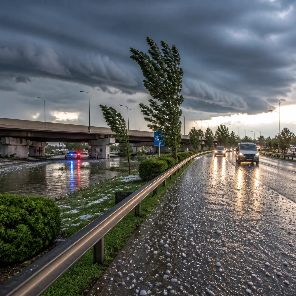
The principal concern is damaging wind gusts, which can flatten trees, bring down power lines and cause structural damage to buildings and vehicles. However, forecasters warn that individual storms may also bring:
- Frequent cloud‑to‑ground lightning, posing a risk to anyone outdoors;
- Hail in stronger updrafts;
- Pockets of torrential rainfall that could lead to sudden surface water and flash flooding.
Storms are expected to exhibit some forward motion, which should limit how long the heaviest rain sits over any one location in many cases. Nevertheless, meteorologists caution that if storms develop repeatedly along the same track or stall over built‑up areas, isolated flash flooding remains a possibility — particularly where drainage is poor.
Risk level and what that means
The Storm Prediction Center has placed parts of the DMV (District, Maryland, Virginia) region under a slight risk — classified as level 2 out of 5 on their scale. That category indicates that organised severe storms are possible and that any that do form could become strong or locally severe.
Forecasters note that not every location inside the watch will see severe weather, but thunderstorms that do develop may intensify quickly during the late afternoon and evening hours. Residents are advised to keep monitoring conditions and to be prepared to act if warnings are issued for their area.
Practical advice for this evening
Translate the forecast into simple steps to reduce risk tonight:
- Secure or bring inside loose outdoor items such as garden furniture, trampolines and bins;
- Avoid travel if possible during peak storm hours and be cautious of fallen trees and flooded roads;
- Move vehicles away from trees and ensure mobile devices are charged so you can receive weather alerts;
- If you are outdoors, seek a sturdy building or vehicle and avoid open fields, hilltops and isolated trees;
- Do not attempt to drive through floodwater — even shallow water can sweep a vehicle away.
| Threat | Practical steps |
|---|---|
| Damaging winds | Stay indoors; keep clear of windows; park away from trees |
| Frequent lightning | Avoid open water and metal structures; seek shelter |
| Heavy rain/flash flooding | Avoid driving on flooded roads; move to higher ground if necessary |
Local emergency services and broadcasters will issue warnings if storms become imminent or if conditions deteriorate. Keep tuned to local weather updates and heed any advisories from the National Weather Service or local authorities.
Why movement of storms matters — and when to be most vigilant
Storms that move steadily tend to drop heavy rain over a narrower area for a shorter time, reducing the risk of flash flooding. The bulletin for this watch notes that most storms should show some movement, which is useful. But the situation remains dynamic: developing cells can strengthen rapidly and, on occasion, trains of storms moving repeatedly over the same path can create intense downpours in a short period.
Be especially alert this evening in urban locations where impermeable surfaces encourage rapid run‑off. If you live in a neighbourhood prone to surface water or flash flooding, make plans to move to safer ground and protect any valuables.
We will continue to monitor updates from the Storm Prediction Center and local First Alert teams. For now, treat the watch as an advance warning to prepare — not to panic — and review your plans for shelter, travel and communications before the worst weather arrives.