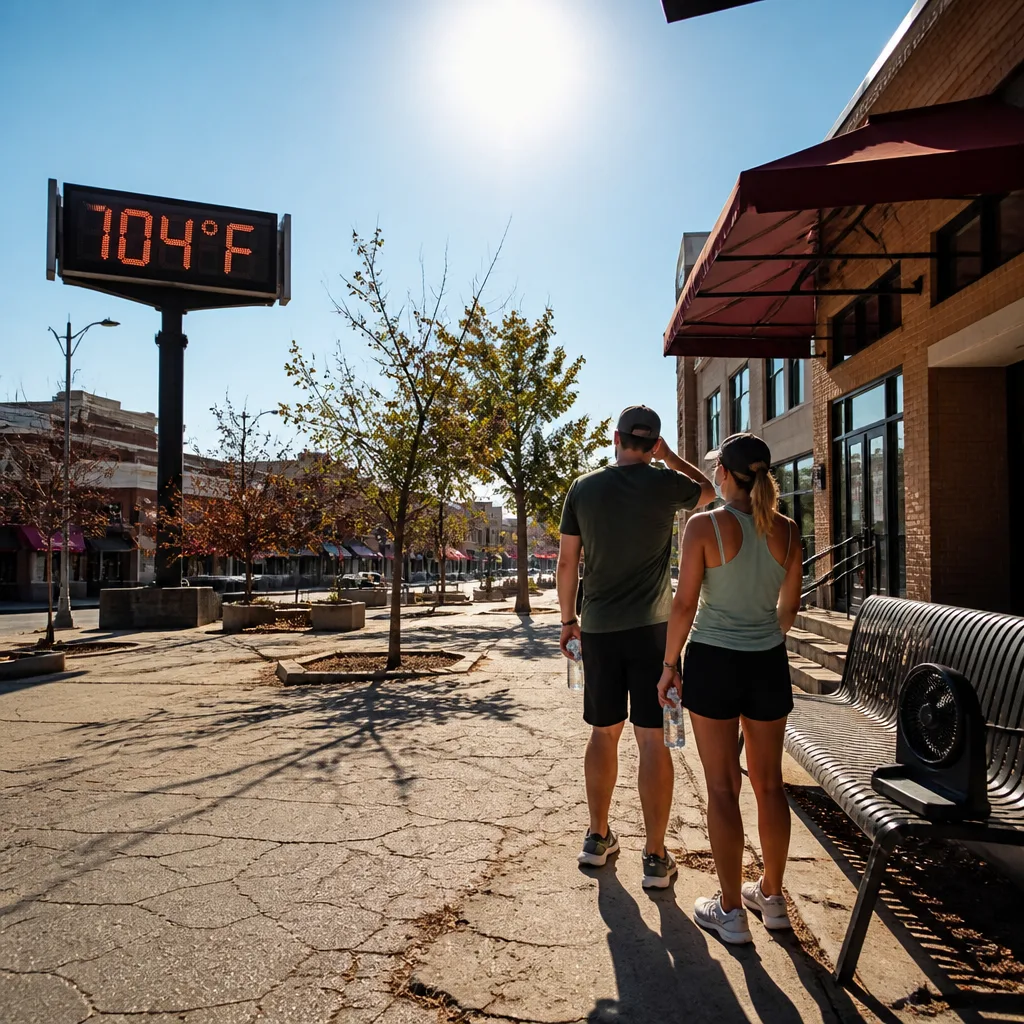
Dangerously hot conditions are set to spread across much of the central United States this weekend and persist into next week as a heat dome traps warm air, forecasters say. The event will push daytime temperatures above 100°F (37.8°C) in parts of the central belt from Dallas north into the Plains and Midwest, exposing around 70 million people to heat advisories.
What is happening and where
A large region stretching from the desert Southwest through the Gulf Coast and extending into the Midwest and Great Plains will experience sustained high temperatures. Forecasts suggest conditions will be 5.6–8.3°C (about 10–15°F) above typical values for this time of year in places. Overnight lows are expected to remain warm enough that many will not find sufficient recovery from daytime heat.
“It looks like it is going to be pretty much stationary in that position as we go through the week,”
The comment above comes from Bob Oravec of the National Weather Service, reflecting the expectation that the heat dome will remain largely in place for several days. Some relief may arrive by the end of next week for central areas, but forecasters caution that any break could be temporary.
Health and practical impacts
With high humidity added to soaring temperatures, the heat will feel more oppressive and increase the risk of heat-related illness. Vulnerable groups — notably young children, older adults and people with existing health conditions — face the highest risk of serious problems such as heat exhaustion and heat stroke.
Public-health and safety advice emphasises simple, practical measures to reduce risk:
- Seek out air-conditioned spaces or designated cooling centres if you do not have reliable cooling at home.
- Stay well hydrated and avoid strenuous activity during peak heat hours.
- Limit time in direct sun and take frequent breaks if working outdoors.
- Avoid leaving vulnerable people or pets in stationary vehicles.
Broader context
This heat episode follows a summer already marked by multiple intense heat events in parts of the United States. Earlier in July the eastern US experienced severe heat that led to event cancellations, and a separate heat surge affected the Southwest and the Great Plains in mid-July. Internationally, a June heatwave across Europe had devastating consequences; French excess-mortality data from that episode showed a large rise in deaths during the heat.
The current pattern is driven by a heat dome — a meteorological setup in which high pressure traps warm air near the surface and suppresses cloud and rainfall, allowing temperatures to build day after day. The combination of sustained daytime heat and insufficient overnight cooling permits heat stress to accumulate in populations and in critical infrastructure such as power networks.
Where conditions may be less severe
Not all regions will be affected. Forecasters expect the Mid-Atlantic and Northeast to largely avoid the worst of this particular event, as will much of the Pacific Northwest.
| Region | Expected impact |
|---|---|
| Central US (Dallas to North Dakota) | Daytime temps above 100°F; major heat advisories |
| Desert Southwest to Gulf Coast | Sustained high heat and humidity |
| Mid-Atlantic & Northeast | Largely spared from extreme heat |
As always with prolonged heat events, local conditions and impacts will vary. City dwellers may face additional strain from the urban heat-island effect, while rural areas with limited cooling infrastructure can also be hard hit.
Keep an eye on local National Weather Service products and heed official heat advisories. Taking straightforward precautions now can reduce the risk of harm during what forecasters describe as a potentially dangerous stretch of midsummer weather.