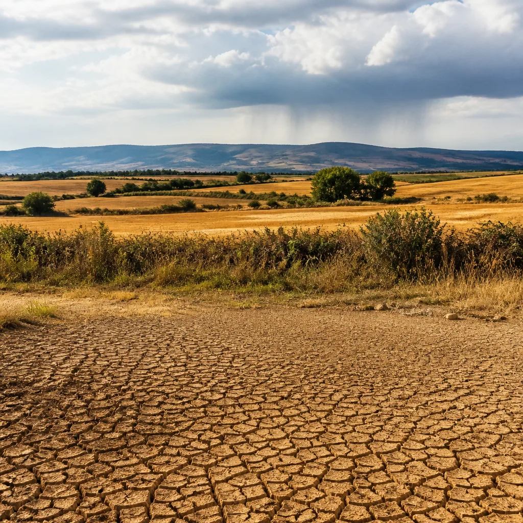
Parts of the UK will see some pockets of rain through Friday and into the weekend, but the lighter falls will do little to relieve drought conditions affecting swathes of England and Wales, the national forecast service warns. Northern areas may see more cloud and scattered showers, while much of the south is likely to remain largely dry.
Short, localised showers will not end the drought
Short-lived and uneven rainfall is expected to affect the far north and pockets of the country, with isolated heavy downpours possible in some northern districts. However, forecasters say most of the regions formally declared in drought are likely to miss out on meaningful precipitation through the coming days.
Next week brings a greater chance of unsettled conditions, with models suggesting the wettest weather will probably be focused on north-western parts of the UK. Some forecasting ensembles indicate southern areas could pick up useful rain, but this outcome is far from certain. Even where rain arrives, high daytime temperatures and the nature of summer showers mean much of it will evaporate or run off rather than soak into the soil.
| Area | July rainfall vs long-term average |
|---|---|
| Wales | 8% |
| England (selected areas) | 7% (falling to 1% in places) |
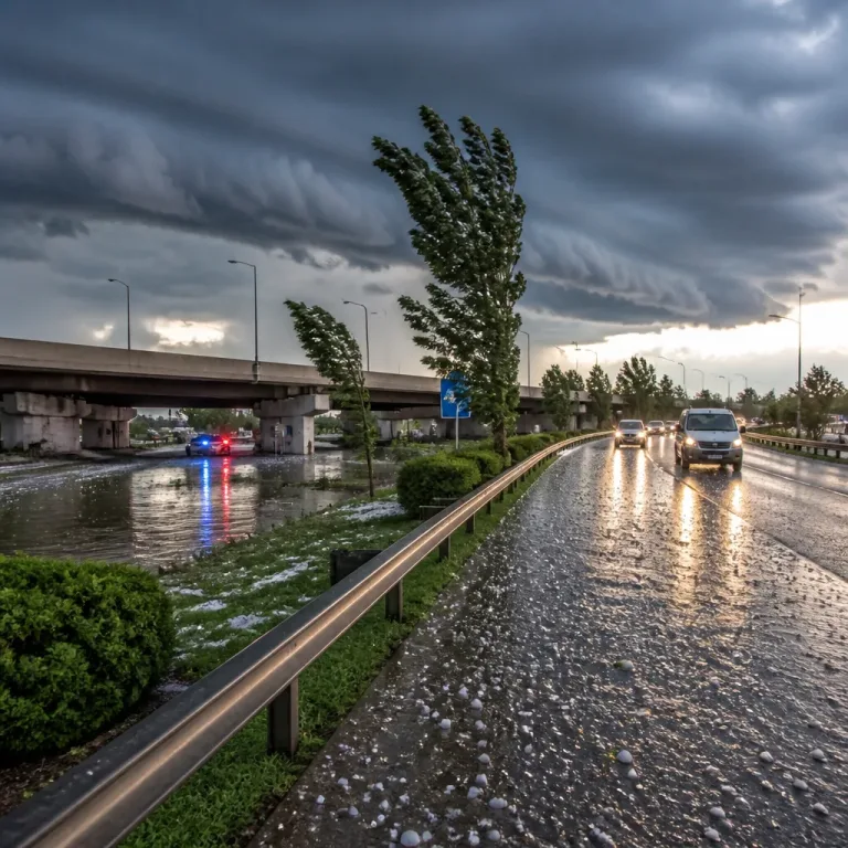
Officials have been clear that routine summer showers or thunderstorms, while they may produce intense local totals, are rarely absorbed quickly enough by parched ground to reverse drought stress. The most beneficial rainfall pattern would be steady, overnight precipitation over multiple days — a scenario the current outlook does not promise.
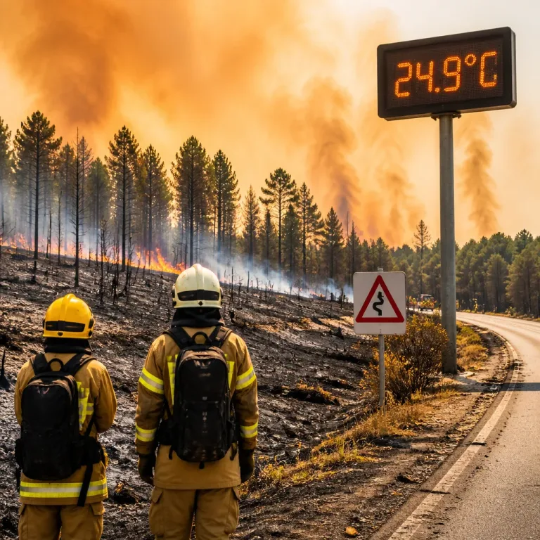
"The toll on the environment, our land and agriculture is clear to see," said Rhian Thomas, Sustainable Water and Nature Manager at Natural Resources Wales, noting teams were still managing the aftermath of extensive wildfires.
Practical impacts and what to expect
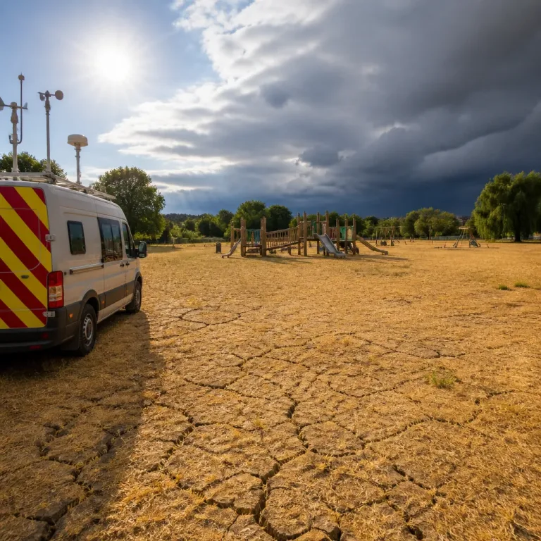
The water deficit is already evident in a number of ways: scorched vegetation, damaged forestry and increased wildfire risk in vulnerable habitats. With reservoirs and soils struggling to replenish, shortfalls in summer rainfall translate quickly into stress for crops and natural ecosystems.
For the public and businesses, the immediate message from the forecast is pragmatic: modest, local rain will not be enough to return reservoirs and soils to normal. Long-term improvement requires sustained, widespread rainfall over days and weeks.
- Where rain is likely: northern Scotland and scattered northern areas will be most prone to showers; southern and south-eastern England remain largely dry.
- Why it won’t help much: high daytime temperatures cause rapid evaporation; heavy summer downpours often exceed soil infiltration rates.
- Best-case scenario: prolonged, overnight rain across broad areas over an extended period — currently not in the short-term forecast.
While meteorological models bring some hope of more frequent rain next week, the pattern appears to favour north-western Britain. Forecasters stress that even when the rain returns, the timing and intensity will determine how much actually recharges the landscape and water storage.
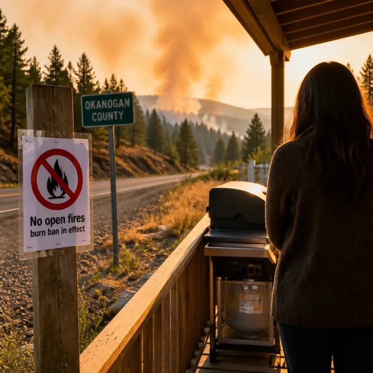
For readers in drought-declared zones, reasonable precautions remain advisable: minimise unnecessary water use where restrictions are in place, follow local authority guidance on wildfire risk and avoid activities that could spark fires in dry countryside. Farmers and land managers will be keeping a close eye on both short-term totals and longer-range model guidance for any sign of a sustained wet spell.
In short, a few showers will break the monotony of dry skies for some, but the broad picture is of a drought that may deepen before it improves unless a more persistent and widespread period of rain arrives.