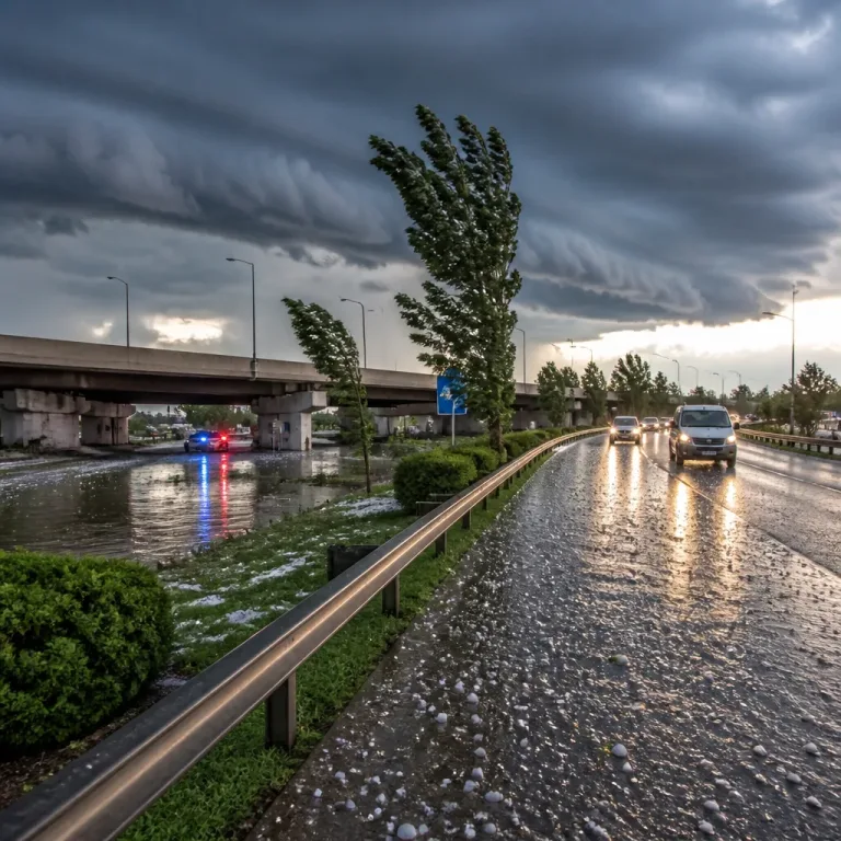
Severe thunderstorms, including tornado reports and flash flooding, swept across the Chicago metropolitan area on Monday as a second wave of storms moved in after an earlier round caused widespread damage.
Radar confirmed rotation and a rain‑wrapped tornado
Throughout the early afternoon, weather radar showed areas of rotation across the suburbs, with signatures noted over Downers Grove, Orland Park and Homer Glen. Forecasters reported a rain‑wrapped tornado affecting the Orland Park, Homer Glen and Tinley Park corridor, where a tornadic debris signature was evident on radar.
Multiple Tornado Warnings were issued for the wider Chicago area earlier in the day, with the greatest risk concentrated in the south and south‑west suburbs and parts of Northwest Indiana as a large storm system tracked south‑southeast out of Wisconsin. A Tornado Warning for Kankakee County was active on Monday afternoon but later expired.
Watches, transport disruption and local rescues
Forecasters placed several counties under a Severe Thunderstorm Watch into the evening: Kankakee, Benton and Will counties in Illinois and Newton, Lake and Jasper counties in Indiana were covered until 7pm, while La Porte County’s watch extended to 8pm. The first cluster of storms moved away but a renewed round arrived later in the afternoon and was expected to continue through the evening, keeping the threat of damaging winds, hail, flash flooding and possible tornadoes in place.
Airport operations were disrupted earlier when a temporary ground stop was implemented at both O’Hare and Midway airports; the holds have since been lifted.
- Rescue teams in Downers Grove worked to free two contractor workers who were swept into a storm sewer during intense rainfall.
- In Lansing, a woman was injured after going outside to retrieve her dog when tornado sirens sounded; debris struck her and part of her roof collapsed.
Short‑term outlook and practical advice
There was a lull between the storm waves that allowed the atmosphere to recharge, meaning the later band of storms could be as intense as the first. The immediate threats included damaging straight‑line winds, large hail, localised flooding and the possibility of additional tornadoes while watches remained active through the evening.
If you are in the watch or warned areas, take the following precautions:
- Move indoors to a sturdy building and stay away from windows.
- Have a battery‑powered radio or a phone with weather alerts enabled.
- Avoid driving through flooded roads – turn around, don’t drown.
- Secure loose outdoor items and stay informed on watch/warning updates.
The larger synoptic picture will bring a change in winds late on Monday night into Wednesday morning, with gusts becoming more persistent from the north‑east. That front will initially reduce humidity for a couple of days, but moisture is expected to return by Thursday as humidity climbs again. Event organisers and residents in central Chicago should note that rain and thunderstorm chances rise again on Friday and Saturday, coinciding with the Lollapalooza festival in Grant Park.
| County / Area | Watch expiry |
|---|---|
| Kankakee, Benton, Will (IL); Newton, Lake, Jasper (IN) | 7pm |
| La Porte (IN) | 8pm |
Emergency services and weather agencies remain on alert. Keep monitoring local forecasts and heed instructions from authorities — conditions can change rapidly in these scenarios, and staying informed is the best protection.
Reporters on the ground supplied early incident details. This bulletin summarises confirmed observations and official watches and warnings as issued during the Monday storms.