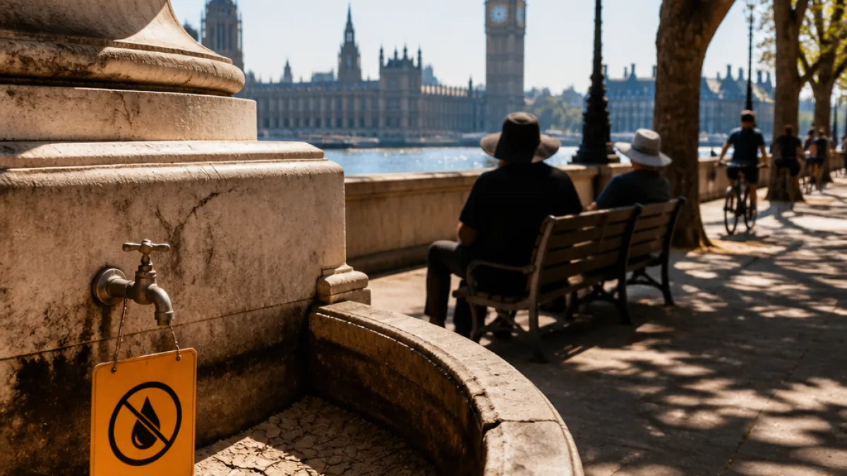
London faces a hot spell at the start of the week, with temperatures expected to climb to about 33C on Monday as an amber heat-health alert takes effect. Forecasters say the peak should arrive in the afternoon, while authorities warn that the prolonged dry conditions that have gripped parts of the city could increase risks to vulnerable people.
How hot and when
Weather services are signalling a pronounced rise in temperatures on Monday. BBC Weather’s model indicates the mercury will build steadily through the morning, reaching roughly 33C by about 4pm. The Met Office’s guidance is a touch more conservative, with a forecast high of 31C for the same day. Whatever the precise figure, both agencies agree London will be markedly warmer than recent weeks.
| Day | Forecast high (approx.) |
|---|---|
| Monday | 31–33C |
| Tuesday | 27–28C |
| Wednesday | 23–25C |
| Thursday | 23–25C |
Alert status and health implications
The UK Health Security Agency has issued an amber heat-health alert covering London and seven other regions, in place until 9am on Wednesday. Amber warnings are used to indicate an increased threat to health for certain groups, including older adults, young children and those with pre-existing health conditions.
Public-health messaging typically urges people to take simple precautions: keep hydrated, avoid strenuous activity in the hottest part of the day, monitor vulnerable neighbours and seek medical advice if symptoms of heat illness develop.
- Stay hydrated and avoid prolonged sun exposure between late morning and early evening.
- Check on elderly relatives and those with medical conditions.
- Avoid heavy physical exertion outdoors during peak temperatures.
Wider context: drought and restrictions
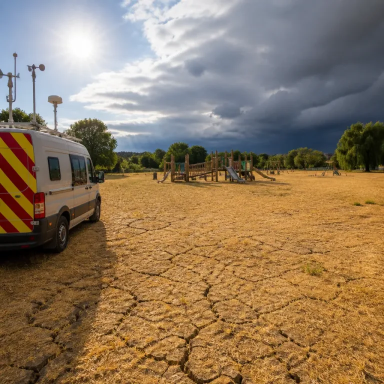
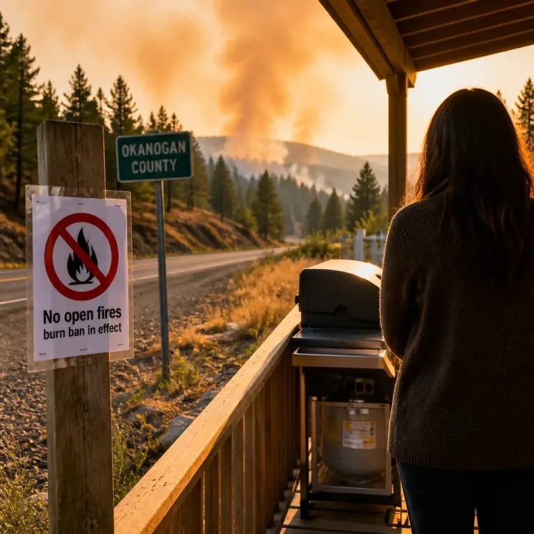
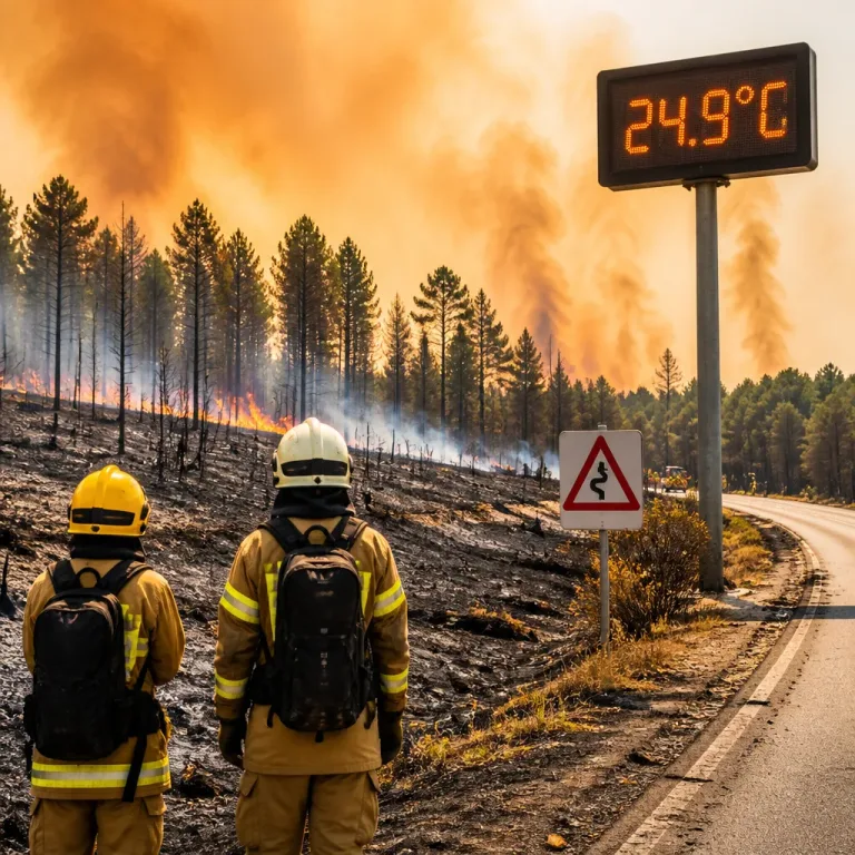
London’s heat arrives against the backdrop of a severe, long-lasting dry spell. Certain parts of the capital have gone without measurable rainfall for weeks; Heathrow recorded a run of roughly 41 days without a downpour, tracking back to late June. The prolonged lack of rain has contributed to increased wildfire risk, shortages in water supplies and the introduction of temporary restrictions in many areas.
Across the UK approximately 23 million people are subject to a hosepipe ban, a measure used by water companies to conserve dwindling supplies during drought conditions. With soil and river levels suppressed, meteorologists warn that even a short sequence of hot, dry days can exacerbate the situation.
Records and rainfall figures
July was an exceptional month for dryness and sunshine, according to the Met Office. Provisional figures show England recorded only 5.6mm of rainfall for the month, considerably lower than the previous low of 13.4mm, which dates back to 1911. That comparison underlines how unusual the current conditions are for this time of year.
What to expect this week
Models suggest a decline in temperatures after Monday, with Tuesday falling back into the high 20s and midweek becoming more comfortably warm rather than hot. The BBC’s 14-day outlook even hints at drier and warmer conditions continuing beyond the immediate spell, though no significant rainfall is expected across London in the coming week.
The combination of high daytime temperatures and ongoing aridity means the capital must weigh immediate public-health precautions alongside the longer-term impacts on water supply and landscape. For residents, the practical approach is straightforward: plan for heat on Monday, protect those most at risk, and stay updated through official channels.
For travel and outdoor events, operators and attendees should account for higher temperatures and increased fire risk—particularly in parks and open spaces where soil is tinder-dry. Keep an eye on local council and Transport for London announcements for any heat-related changes or advice affecting services.
As the capital prepares for the hot spell, the priority for many will be keeping cool, conserving water and checking on neighbours who may struggle during the heat. The next 48 hours will be the crucial window for those actions.